Enhancing Flows in Redwood Creek

Marshall Ranch Flow Enhancement Off-stream Pond Project in Redwood Creek, South Fork Eel River: History and Status Report
By Salmonid Restoration Federation
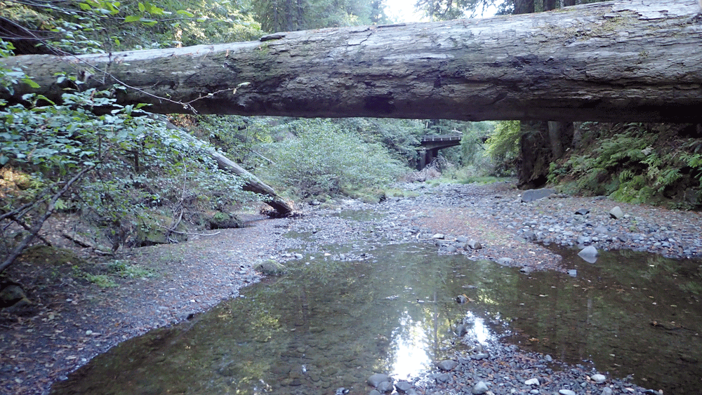
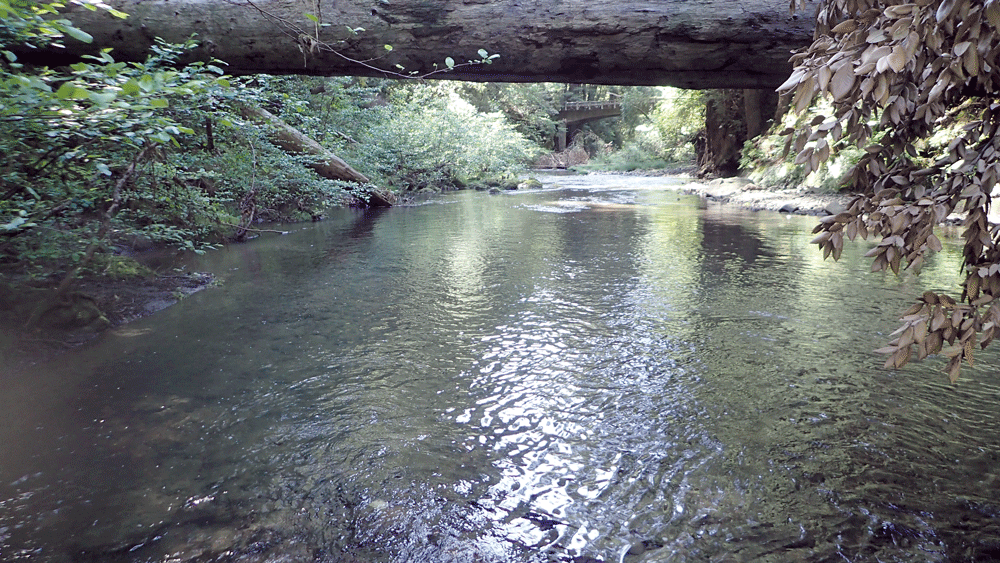
Since 2013, Salmonid Restoration Federation (SRF) has been conducting low-flow monitoring in Redwood Creek, a critical tributary to the South Fork Eel River. With funding from the Wildlife Conservation Board and the California Department of Fish and Wildlife, SRF and Stillwater Sciences have been exploring the feasibility of various streamflow enhancement opportunities in Redwood Creek. Stillwater Sciences conducted a feasibility study in a segment of the watershed that helped to identify priority projects that could improve summer flows. Stillwater Sciences also prepared conceptual designs for off-channel rainwater catchment ponds that could improve water security for individual parcels, but would require wide and coordinated participation in order to measurably improve flows. After much research and reconnaissance, the SRF and Stillwater project team determined that the greatest opportunity to improve streamflows is to work cooperatively with the Marshall Ranch, the largest private parcel in the watershed, stewarded by the Marshall family since the 1800s and now fully protected under a conservation easement.
The proposed Marshall Ranch Flow Enhancement Project is being designed to significantly improve Redwood Creek dry-season conditions. A 15.3-million-gallon off-channel pond is proposed to store winter runoff and release approximately 50 gpm of cool clean water into 5.5 miles of Redwood Creek during the five-month dry season. The proposed pond project would be the equivalent of 250 individual 50,000-gallon tanks with the added value of the water being dedicated to instream flows. This water input is expected to have a significant and measurable benefit to salmonids and other aquatic habitat in Redwood Creek. A fire-suppression component is also being designed into the project. The pond will be accessible for helicopters to dip their buckets, and a fire hydrant gravity-fed from the pond will be available for access by fire engines during emergencies. Additionally, a 7.5-KW solar array grid intertie system and associated infrastructure will allow for offsetting annual power use and ensure that the project itself, including valves, sensors, internet connection, etc., will be operational in a power outage.
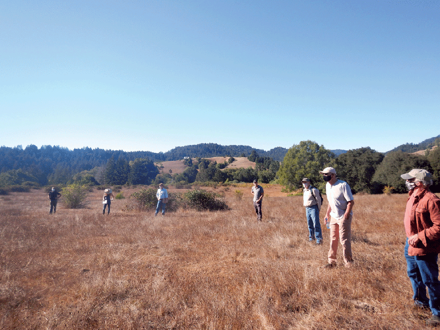
Selection of the off-channel pond site has been guided by office- and field-based assessments of a significant portion of the Redwood Creek watershed. Based on these assessments, the proposed pond location is uniquely suited for the project due to the following factors: 1) the project area is comprised of a broad area with gentle topography, 2) the site is not within the Redwood Creek floodplain or within the potential Redwood Creek channel migration corridor, 3) there are no watercourses, wetlands, trees, or other sensitive plant species within the proposed pond footprint so environmental impacts are minimal, 4) the pond site is located at an elevation with enough pressure head to deliver the entire pond volume to Redwood Creek by gravity, and 5) the Marshall Ranch LLC (landowner) is fully supportive of the project.

photos by Katrina Nystrom

Due to the size of the project and nearby downslope neighbors, a detailed analysis of site conditions, pond design features, and potential failure mechanisms is required. To support the project design process, further in-depth analyses of the site and its surroundings were conducted to ensure that the pond would be stable for the long term. The site is a unique geomorphic feature within the Redwood Creek watershed since it is a Pleistocene fluvial terrace (between 10,000 to 2 million years old). The geotechnical evaluation for the project confirmed this finding with boreholes consisting of hard shale bedrock overlaid by sandy gravel deposits (old sediment from when Redwood Creek was flowing on the terrace approximately 80 ft higher in elevation than the current creek level). On top of the pre-historic creek deposits, 10 to 20 feet of alluvial fan material has been slowly deposited over the last >10,000 years from the up-gradient hillslope and small swale. These multiple lines of scientific evidence supporting terrace stability provided the basis for the pond design prepared in September 2019 and accompanied initial CEQA application documents.
During the CEQA public comment period in Fall 2019, concern was raised by downslope landowners that the proposed pond and associated grading and infrastructure may not meet the desired level of long-term safety, especially during the rare case of a large rainfall event coupled with a large-magnitude earthquake. Based on these concerns, additional analyses have been conducted including further assessment of potential pond failure mechanisms and seismic slope stability analyses under worst-case current and proposed conditions. Based on these analyses, several significant design revisions were made to greatly reduce risk of failure including:
Lowering the pond elevation by eight feet will significantly reduce the weight on the existing terrace below current conditions. In the current design, the vast majority of pond volume will be created by excavating a large trough in the terrace.
Relocation of the pond spillways and changing the initial culvert spillway (in the previous design phase) to a rock-lined spillway will increase longevity and reduce long-term maintenance costs.
Installation of a pond liner, French drain, and subsurface restrictive barrier to reduce seepage concerns.
Grade control structures in the central gully.
Installation of a backup energy system to provide capability to operate and monitor project even during a power outage.

The proposed design modifications are expected to lower the risk of slope instability that could impact the downslope landowners compared to current conditions. This is a result of the proposed project significantly lowering the water table within the upper terrace and stabilizing the central gully. According to the lead Stillwater Sciences engineer, Joel Monschke, “The pond is set back a significant distance from the slope break and is primarily constructed through excavation into the terrace. There is no plausible mechanism for massive pond failure.” This finding is supported by geologists from Stillwater Sciences and validated by engineering geologists and a geotechnical engineer from SHN who have supported the design process. Additionally, the project engineer has requested that GeoSystems Engineering faculty at UC Berkeley specializing in earthquake engineering review the designs to assess if the proposed design could withstand an 8.0 earthquake during saturated conditions.
Proposed design modifications have been reviewed by technical advisors from the California Department of Fish and Wildlife, North Coast Regional Water Quality Control Board, NOAA Fisheries, and the State Water Board. Revised project documents were submitted to Humboldt County Planning Department in September 2020. The County will officially notify nearby neighbors of a 30-day public comment period this fall, and all project documents will be available on the State Clearinghouse website. After that 30-day comment period, there will be a public hearing scheduled for any interested parties to attend via Zoom. SRF will do its due diligence to notify downstream landowners and the Redwood Creek community about the public comment timeline and the significance of this project.
To learn more, please visit www.calsalmon.org/programs/marshall-ranch-flow-enhancement where you can find the 90% Designs, the Basis of Design, project team qualifications, and Frequently Asked Questions. Additionally, under Resources and Updates, you can find taped presentations and recent radio interviews about this innovative project.
